
So let’s say you’re somewhere out on the bay in an area that might be getting a wee bit shallow. Wouldn’t it be nice to have a depth sounder right now? Well, you know what the kids would say… “There’s an app for that.” In fact, if you have a smart phone or any type of smart handheld device, there’s an app for just about any sailing or navigating problem you might encounter.
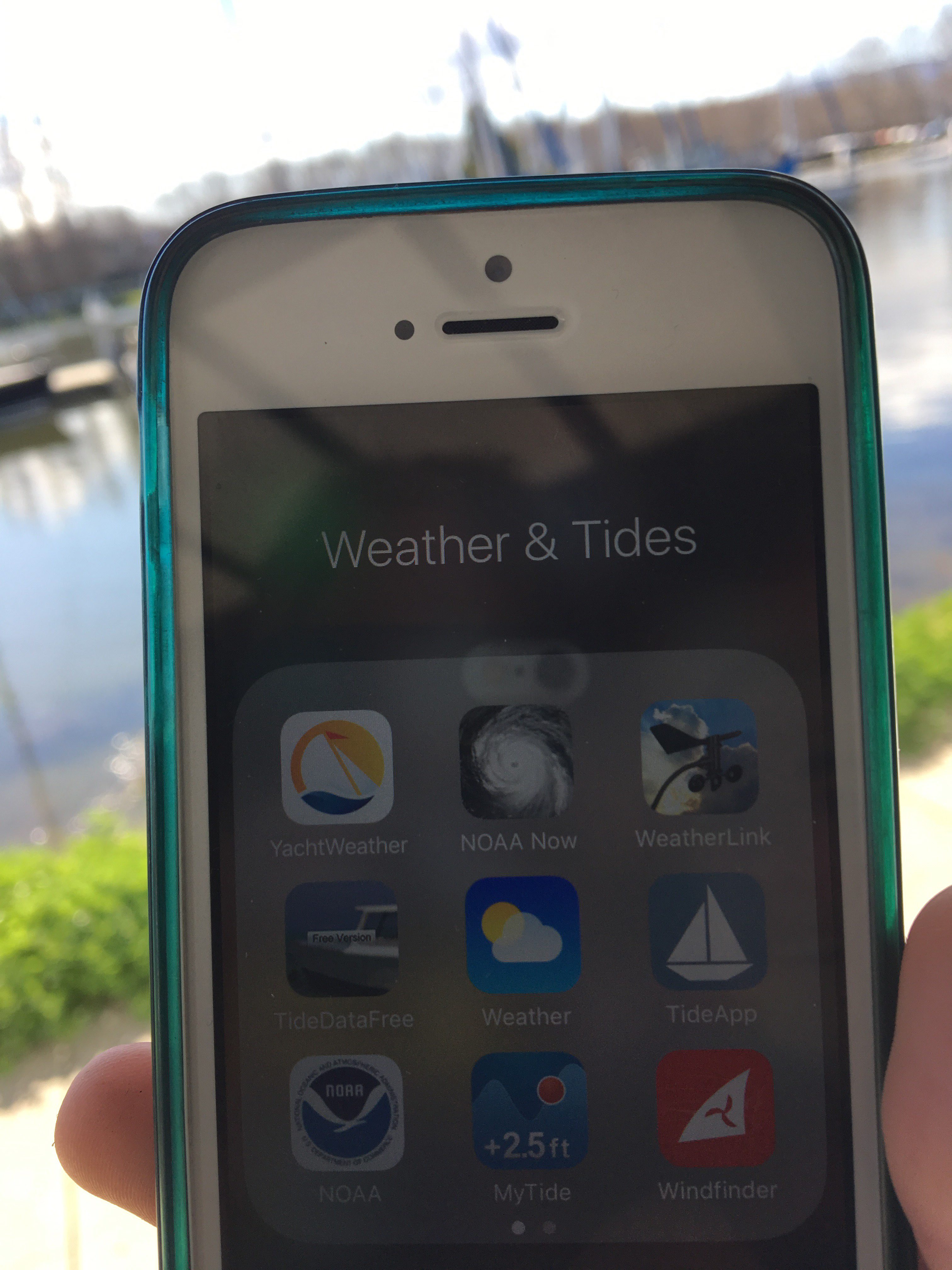
My iPhone contains a good number of apps that I use while sailing, navigating, planning trips … or trying to figure out how much clearance I have under the keel. Some I use frequently, some occasionally, some almost never but I’m more comfortable knowing they’re there. Some are just fun if not entirely useful.
The apps you choose will depend on where you come down on philosophical questions like, How much do you want to pay for your app? How much battery use are you willing to let an app suck up? and How much tolerance do you have for complex controls? My answer to all those questions is, “Not much.”
The most important question a sailor needs to answer is Where am I? Traditionally, sailors might have answered that question by applying skills to a chart and piloting tools. Today, charts are available electronically in a number of formats, and your smart phone’s GPS can locate you on them. I am currently using a phenomenal app called Navionics Boating.
NAVIONICS BOATING – For electronic charts
The app is free, but the content you need – the chart – is not. For a complete set of all United States charts, it’ll cost you $9.99, which, when you think about it, is a pretty amazing value. Charts for other parts of the world are generally more expensive. A chart that included the section of Thailand I chartered in last Christmas cost $50, but it was probably the most important purchase I made for that trip.
The Navionics app shows you government charts and also Navionics’ own proprietary charts. The system allows you to share comments about anchorages or other features and also lets you read what other boaters have posted. The app also includes a remarkable routing tool in which you post a starting point and intended destination, and the app creates a route that matches depth and other parameters you enter. That’s lovely stuff if you’re boating somewhere you’re not entirely familiar with. The app also gives you real time course and speed and has methods to communicate with other devices.
Navionics Boating is available for iPhones and Android. A high-def version, Navionics Boating HD, is available for pads, but here’s the thing… If you want to make one purchase and use it on both an iPhone, for example, and an iPad, you need to use the non-HD app on both devices.
The non-HD charts look and work about the same on my iPad as the HD version and though I find the HD version on the pad slightly nicer, the convenience buying the chart service once and using on both devices tops that, in my mind.
So, after figuring out where you are, the next most important question a sailor has, at least on San Francisco Bay, is what’s the tide doing? And more to the point, which direction is the tidal current flowing, and how fast?
AYETIDES – For information on tides and currents
The standard method of figuring out tides and currents involves a little booklet in which you thumb to a page with tiny lines of print for today’s date and note down a bit of data. Then, to find out what you really need to know, you flip to another page with seemingly tinier type to look up the calculation you need to apply to your original bit of data, do the math and voila! You know when high tide was, or when maximum flood will be. And THEN … more calculations … because you want to know what’s going on now, not what happened a few hours ago or what’s going to happen a few hours hence.
Aren’t you glad the life force created computers? All that data and all those calculations are child’s play for an algorithm created years ago that pretty much all tide programs use today. The result is you can get real-time tide and current predictions from any number of apps.
Navionics, for example, embeds tide and current info on some of its charts. But I have gotten used to a separate app called AyeTides that lets me see quickly in both tabular and graphic format what tides and currents are doing where I want to sail. I use this app essentially every time I get on a boat.
AyeTides available for Apple products, but, alas, not for Android.
SHIPFINDER – For a look at who/what else is out there
OK. So we know where we are and where the current is taking us. Now the question is; what or who do we need to watch out for? This isn’t as big a problem in the South Bay, but in the Central Bay – the waters around San Francisco and Oakland – dozens, maybe hundreds, of commercial vessels are zipping around, from small water taxis to high-speed ferries and tour boats to giant freighters and cruise ships. It’d be nice to get a birds-eye view of all of them and, lookee here – there’s an app for that. Lots of them, actually.
Commercial vessels are required to post real-time information about their course, speed, destination and other data to the Automatic Identification System network. AIS data is available through some chart apps, allowing you to see live on your chart what ships are going where. That’s a terrific service, but it also turns out to be a terrific power suck on your device. You’ll know everything you need to know – until your device goes dead in an hour or two.
For me, an app like Shipfinder works just fine. When I sail on the Central Bay, I can see which freighters are under way, how fast that ferry is moving and where tug and tow are likely going. That’s particularly handy if it looks like I might be on a collision course, or if visibility is limited. It’s also just fun to see all that activity.
The U.S. Coast Guard has begun making information on Aids to Navigation available through AIS as well, and then information is visible with Shipfinder.
Shipfinder projects its data on what amounts to a Google map, but I don’t find that a problem because I’m already using a charting app. (Please, please don’t consider using Google maps or Google Earth as your charting app. You’ll go aground, or worse.)
OTHER STUFF – For fun and useful info
Here are some other apps I use from time to time.
BAY CURRENTS – Some folks at SF State put together an interesting app that shows graphically what currents are doing at different stages in the tide cycle in the Central Bay. It’s kinda fascinating, though the app is a bit buggy and prone to crashing. Find this iPhone/iPad app by doing a Google search for “Bay Currents app,” or visit https://itunes.apple.com/us/app/bay-currents/id492853433
HAND BEARING – I use a nifty little app that lets me take and record hand compass bearings using my iPhone’s camera. It’s great for piloting and setting rough lines of position. But don’t take it too seriously because the compass in your handheld isn’t perfect. Search for “Hand Bearing app” on Google or visit https://itunes.apple.com/us/app/hand-bearing-compass/id532085166
ACTIVECAPTAIN – If you sail or cruise much in areas you’re unfamiliar with, you need to get familiar with ActiveCaptain ActiveCaptain.com. It offers a tremendous amount of crowdsourced information, data that can feed seamlessly into onboard electronics and other goodies.
MYWEATHERSPOT – This is a web page myweatherspot.com rather than an app, but it’s set up to be used efficiently on your handheld. You put in a point for which you want a forecast, and you get information tailored to that spot. If the location is on the water, you’ll get marine forecast info. This site was created by an old sailing pal and I think he did a pretty nice job.
SPEAKING OF WIND…
I haven’t suggested any apps for wind forecasts. That’s not because there aren’t any, it’s just that none of them seem all that good to me. You should pay attention to the National Weather Service’s marine forecast, but understand that it covers a large region and doesn’t speak to specific inland areas. You’ll find the one for our region at
http://forecast.weather.gov/shmrn.php?mz=pzz530&syn=pzz500
The best way to get a sense of what to expect of the wind is to look at what’s already happened and apply some local weather knowledge. For that, I use NOAA’s Redwood Creek weather station http://www.ndbc.noaa.gov/station_page.php?station=rtyc1 and several others.
If you want to try some wind data and forecast apps for yourself, you might look at windyty.com or an app called WindAlert.
GOING DEEP…
Oh, about that depth sounder app I mentioned at the start? There’s one called Deeper, but I don’t use it: It’s too expensive, it requires extra equipment and it just looks too complicated. And besides, if I know where I am using a good charting app, I already know how much water I probably have beneath the keel. So I don’t need a depth sounder. But if you’re interested, check it out at https://buydeeper.com
While this list of sailing apps is not all inclusive, I hope that it has at least whet your app-itite for sailing technology. (sorry, I couldn’t resist : )